Let’s start with a couple of big numbers. The most recent TfL report from 2016 shows that, on an average day there are 6.3 million walk trips (where walking is the only mode of travel used) and 6.8 million walk stages (where walking was part of a longer trip using other modes) of more than 5 minutes made in London. (And, of course, this average day came in the ‘before times’ when there was no coronavirus pandemic).
That is a lot of walking.![]()
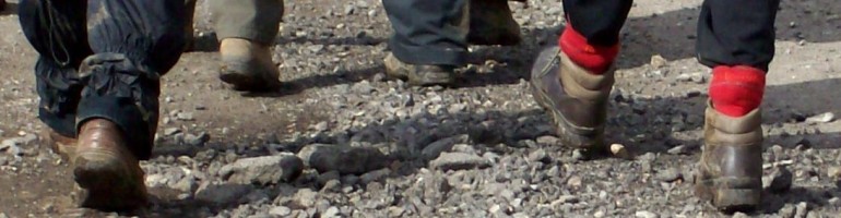
Despite this walking is often overlooked by transport planners and policy makers, but it is accessible to a large proportion of the population, does not require special clothing or equipment, and can ease pressure on public transport by reducing the number of stops people travel and changes they make.
Ease the pressure on public transport.
Footways has been curated to connect major places with appealing and accessible streets. It’s a network of quiet and interesting streets, lanes and alleys for walking in central London. The places include mainline train stations, popular destinations and green spaces. It prompts Londoners and visitors to choose walking as the most enjoyable, efficient and healthy option.
The brainchild of London Living Streets, the project has utilized the knowledge of many other partners, like the Ramblers, London National Park City Foundation, Go Jauntly, Sustrans London, Inner London boroughs, TfL, and many more, but especially urbangood. You probably know urbangood from their iconic London National Park City paper map, with its clean lines and excellent design and the prominence of walking routes and green spaces, that encourage you to get out and explore London on foot. So far, the network covers all or part of the following boroughs: Camden, City of London, Islington, Kensington and Chelsea, Lambeth, Southwark, Tower Hamlets and Westminster.
The idea over the summer is to plant the idea, get people thinking about walking longer and further, ahead of the launch of the printed map in September. I know that right now central London is beyond quiet but I can see the android app becoming indispensable for me in the future. So, check out https://footways.london/ and if you’re an android smartphone user follow the simple instructions and download the beta map. Follow the project on twitter and instagram. Engage and enthuse, all feedback is welcome. (Especially the positive comments.)

walking class hero lockdown days playlist:

Regina Spektor – Summer In The City
